Alaska's Inside Passage
Rainforest, totem poles and ice: the geography and Indigenous cultures of Southeast Alaska, from Ketchikan to the Taku Glacier and White Pass.
Where the Exhibit Takes You
- 1KetchikanSalmon streams, totem poles and rainforest on Revillagigedo Island55.3° N, 131.6° W
- 2JuneauAlaska's capital, at the edge of the Juneau Icefield58.3° N, 134.4° W
- 3SkagwayGateway to White Pass and the Klondike59.5° N, 135.3° W
Salmon Town and Its Eagles
City Park and Herring Cove, Ketchikan
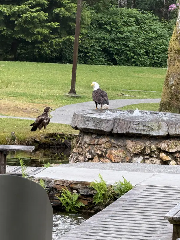
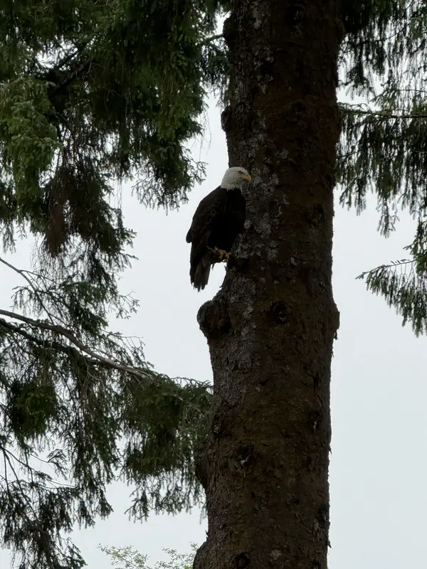
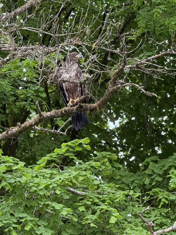
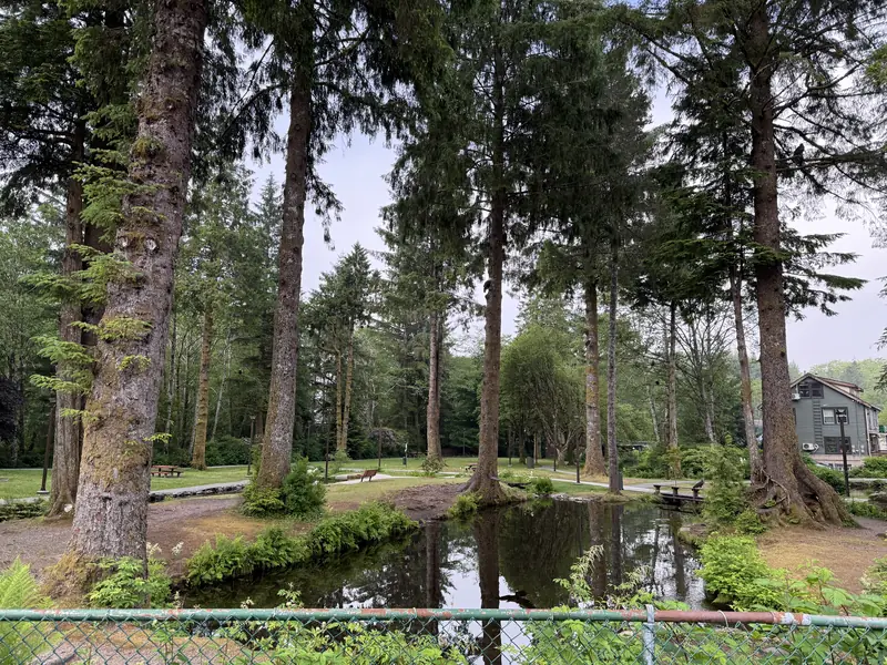
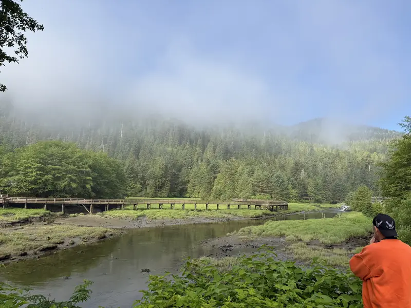
Ketchikan is built along the shore of Revillagigedo Island, inside the Tongass, the largest national forest in the United States. The town grew up around salmon: canneries lined the waterfront, and the ponds in City Park first served as holding ponds for its earliest fish hatchery. Where salmon run, bald eagles follow. The spruce and hemlock of City Park often hold several at once, adults with white heads beside young birds still in brown. A bald eagle needs about five years to grow its white head and tail. South of town at Herring Cove, a boardwalk crosses a tidal creek where black bears come to fish when the salmon return in late summer.
Carved in Cedar
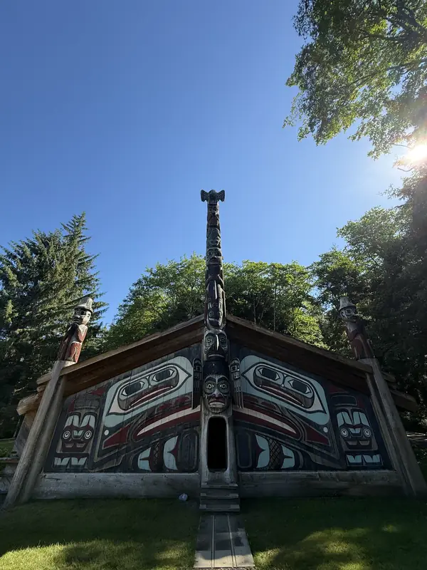
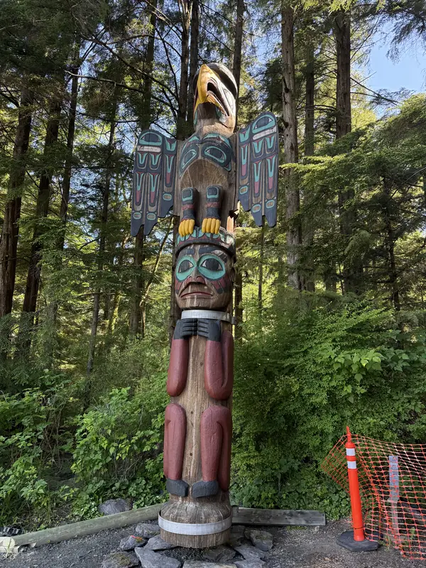
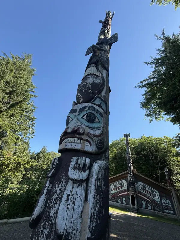
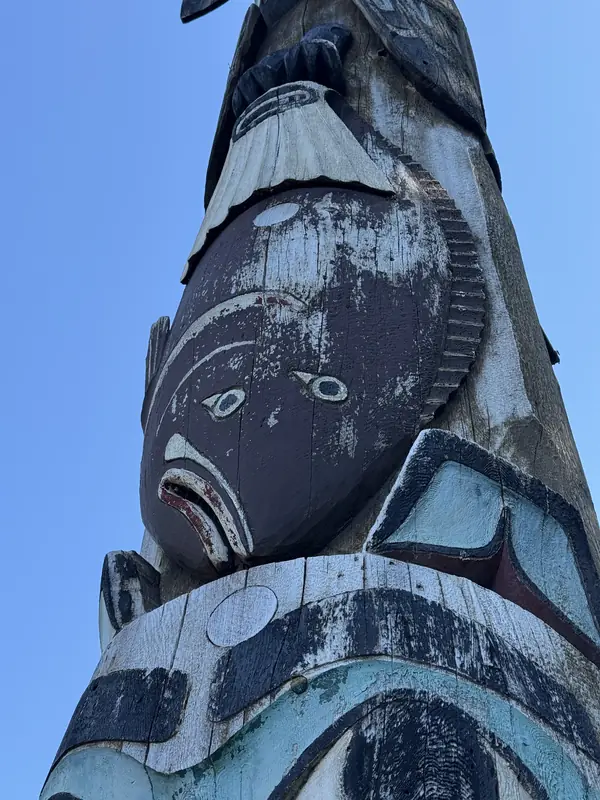
Totem Bight State Historical Park
A totem pole is not a religious idol but a record. Its stacked figures are crests, the animals and beings a clan has the right to display, and they tell of ancestors, alliances and events. In 1938 the Civilian Conservation Corps began a project to save poles left standing in abandoned villages. Native carvers were hired to restore the poles or carve faithful copies, and to build the clan house at Totem Bight. Its painted front, designed by Tlingit carver Charles Brown, shows a stylized Raven whose eyes are elaborated into faces. Painted house fronts were rare and signalled great wealth. Visitors enter through the low oval doorway in the Wandering Raven pole, a narrow entrance that once made the house easier to defend. The paint on the poles is allowed to weather, and in time the cedar returns to the forest.
The Temperate Rainforest
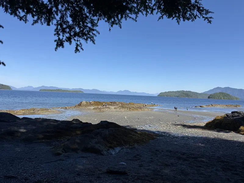
Totem Bight and Settlers Cove, Ketchikan
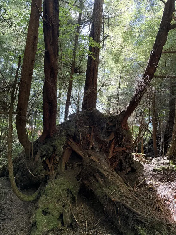
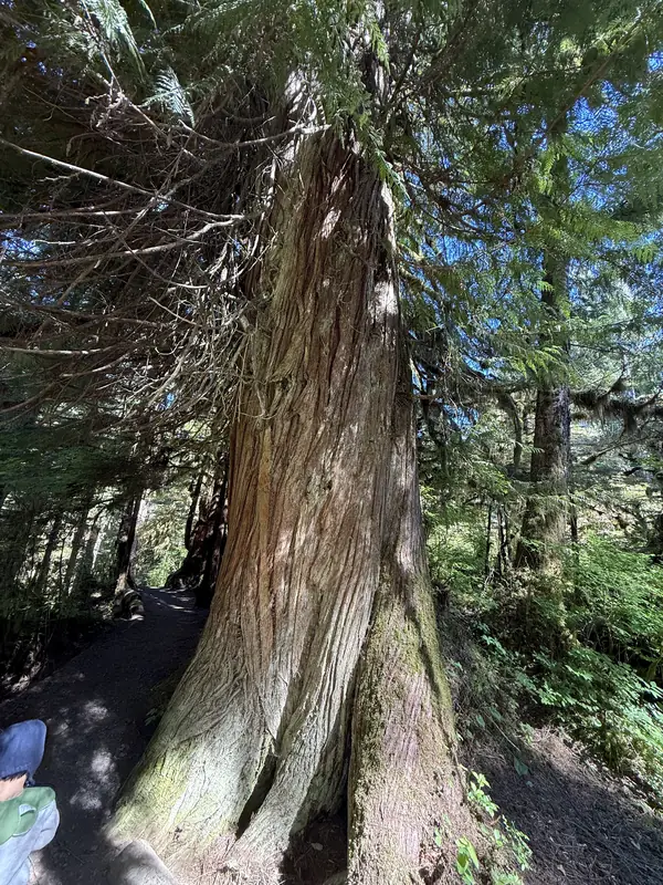
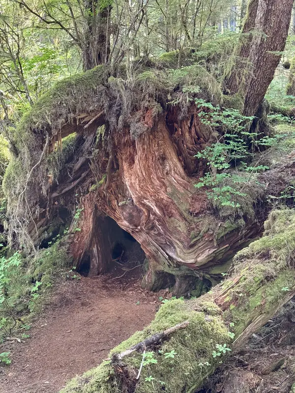
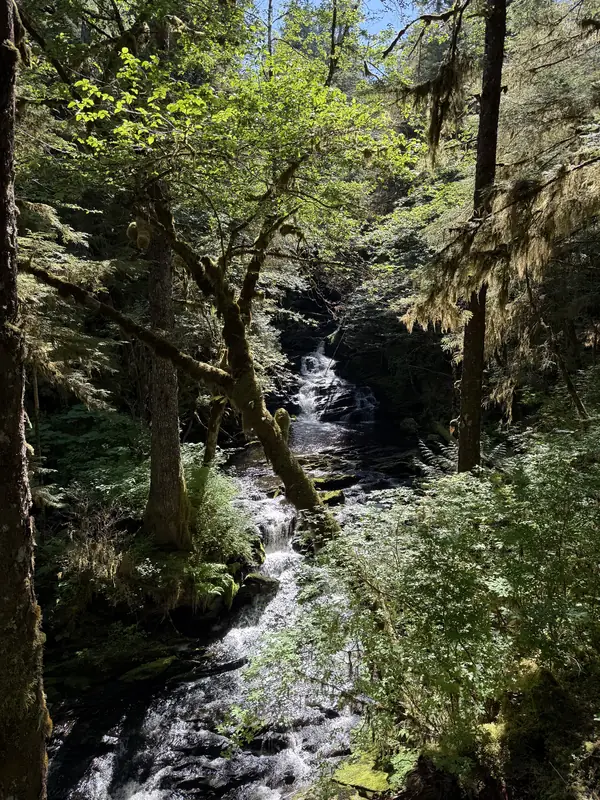
Ketchikan receives roughly 150 inches (3.8 m) of rain a year. In this constant damp, a fallen tree does not simply disappear. Moss covers it, seedlings take root in its rotting wood, and young hemlocks and spruce grow up out of the old trunk, a pattern foresters call a nurse log. When the log finally rots away, the trees it fed are left standing on stilt-like roots. Western redcedar, with its long fibrous bark, is the tree of the coast's cultures: its straight, rot-resistant wood becomes poles, canoes and house planks, and its inner bark is woven into clothing and baskets. At Settlers Cove a short trail follows Lunch Creek past Lunch Falls and down to the beach on Clover Passage.
Rivers of Ice
Taku Glacier, Juneau Icefield
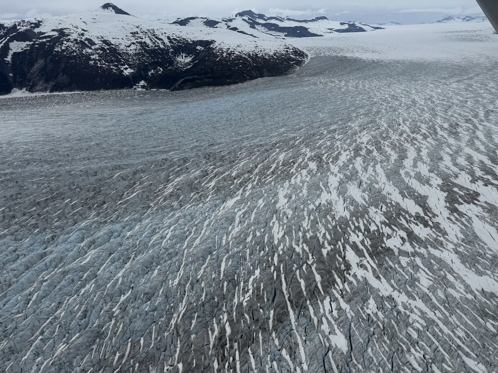
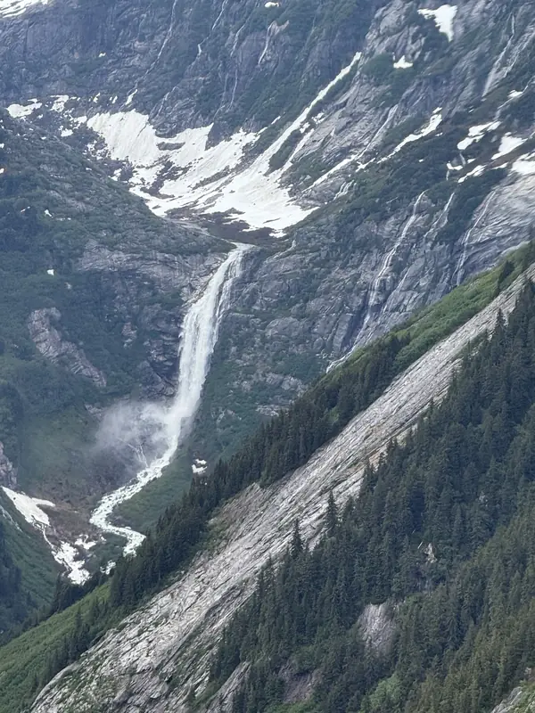
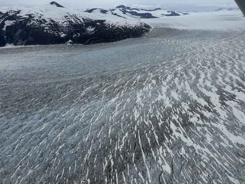
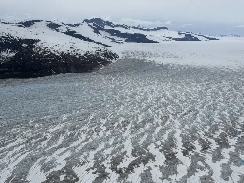
Juneau, Alaska's capital, cannot be reached by road. Behind it lies the Juneau Icefield, around 1,500 square miles (3,900 km²) of ice feeding some forty large glaciers. Floatplanes from the downtown waterfront reach it within minutes. Its largest glacier, the Taku, is one of the thickest temperate glaciers known, with ice estimated at more than 4,500 feet (1,400 m) deep. From above, its crevasses form long curving bands that show how the ice bends around the mountains as it flows toward the sea. For most of the twentieth century the Taku advanced while its neighbors shrank; in recent years it, too, has begun to retreat. Along the Taku River valley, meltwater from hanging valleys falls hundreds of feet to the valley floor.
The Road to the Klondike
White Pass, Skagway
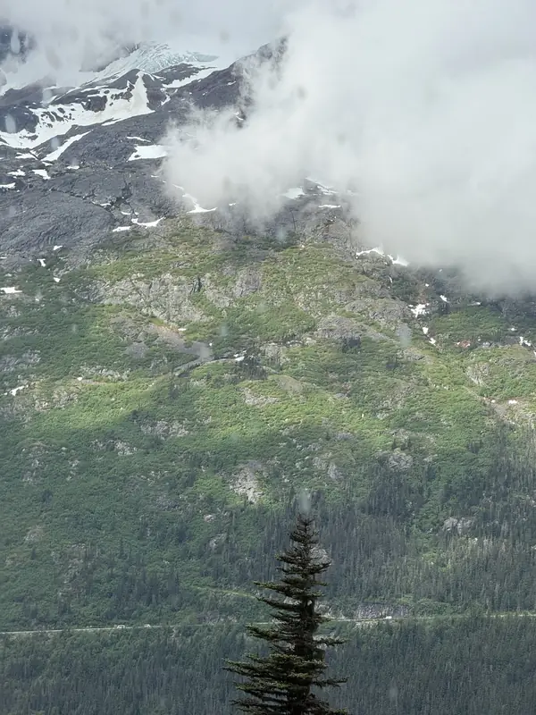
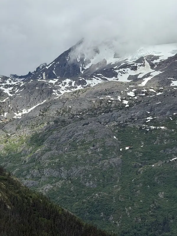
In 1897 news of gold in the Klondike drew tens of thousands of stampeders north. Skagway, at the head of the Lynn Canal, became their landing, and White Pass their route over the Coast Mountains to the Yukon headwaters. Canadian authorities required each prospector to bring about a year's supplies, so many made dozens of trips up the trail, and thousands of pack animals died on it. The White Pass & Yukon Route railway, blasted up the same slopes between 1898 and 1900, ended the ordeal just as the rush faded. Today the railway and the Klondike Highway climb through bare, glacier-scoured granite where the rainforest gives way to alpine tundra.